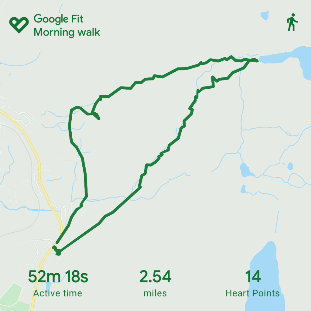
Logged distance: 4.83 miles
Walking Time: 1hr 45 mins
Out Time: 2hr 7 mins
Ascent: 1081 ft
I am still getting use to the OS walking app on my phone, but also walking generally and by that I mean getting use to wide open spaces which have a published foot path but not a clearly defined walked route. I tend to find that on each walk I have at least one “deviation” from the route but have been reading up on the OS map legends to understand “free access areas” a bit better as well.
So for those of you joining us for a walking stay or just wanting to walk in the area, what about this walk?
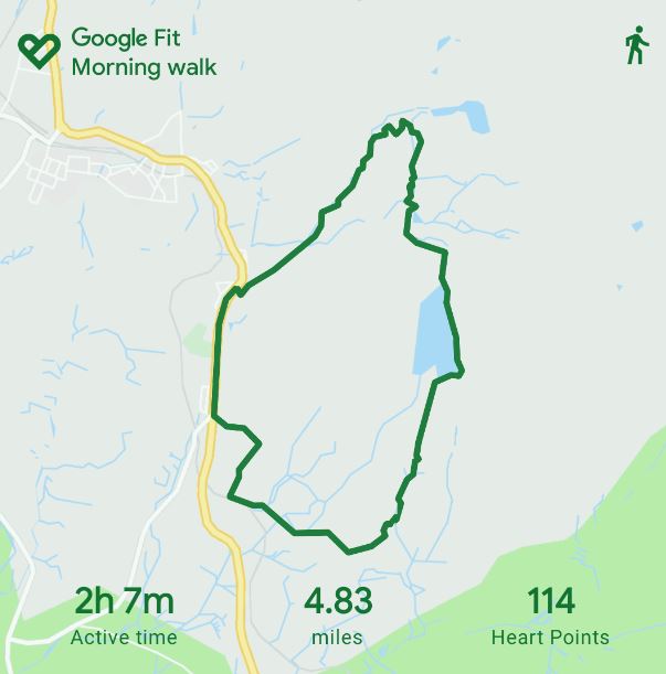
Once again, its a simple loop from the house and the time displayed included me taking some photos and checking my location etc.
Leg 1 – Glan Gors to Llyn Du Bach
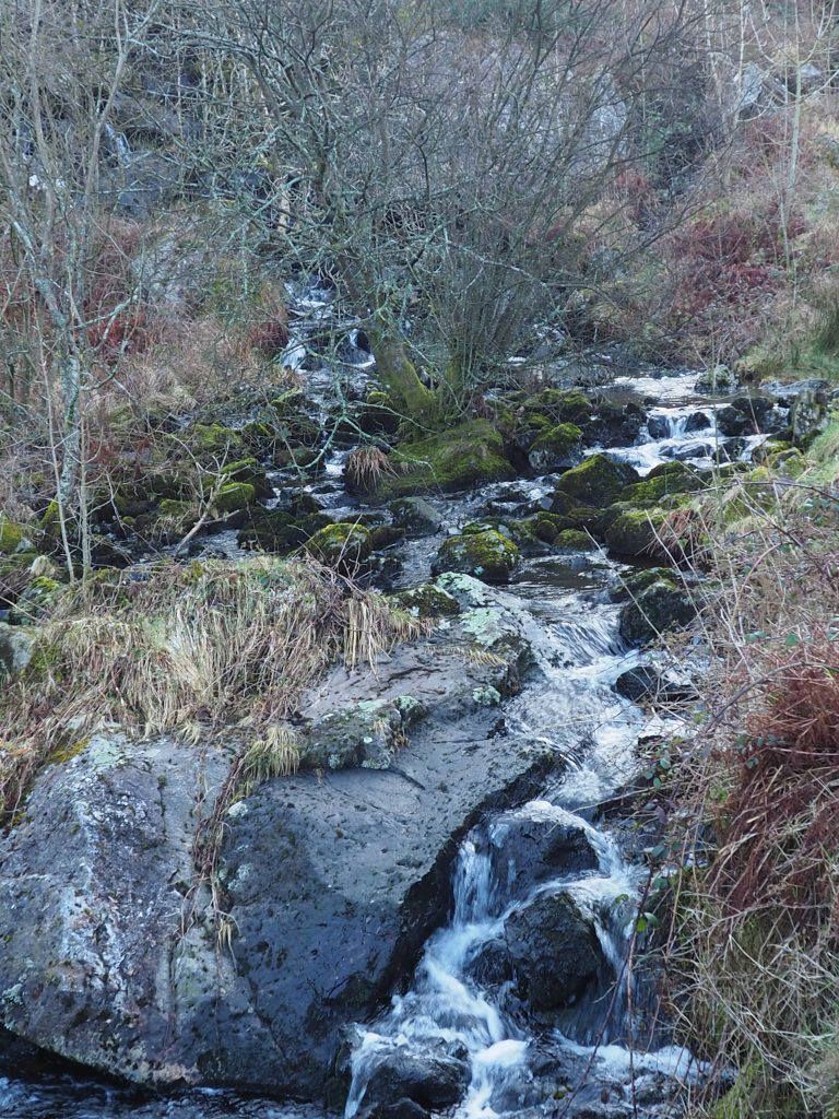
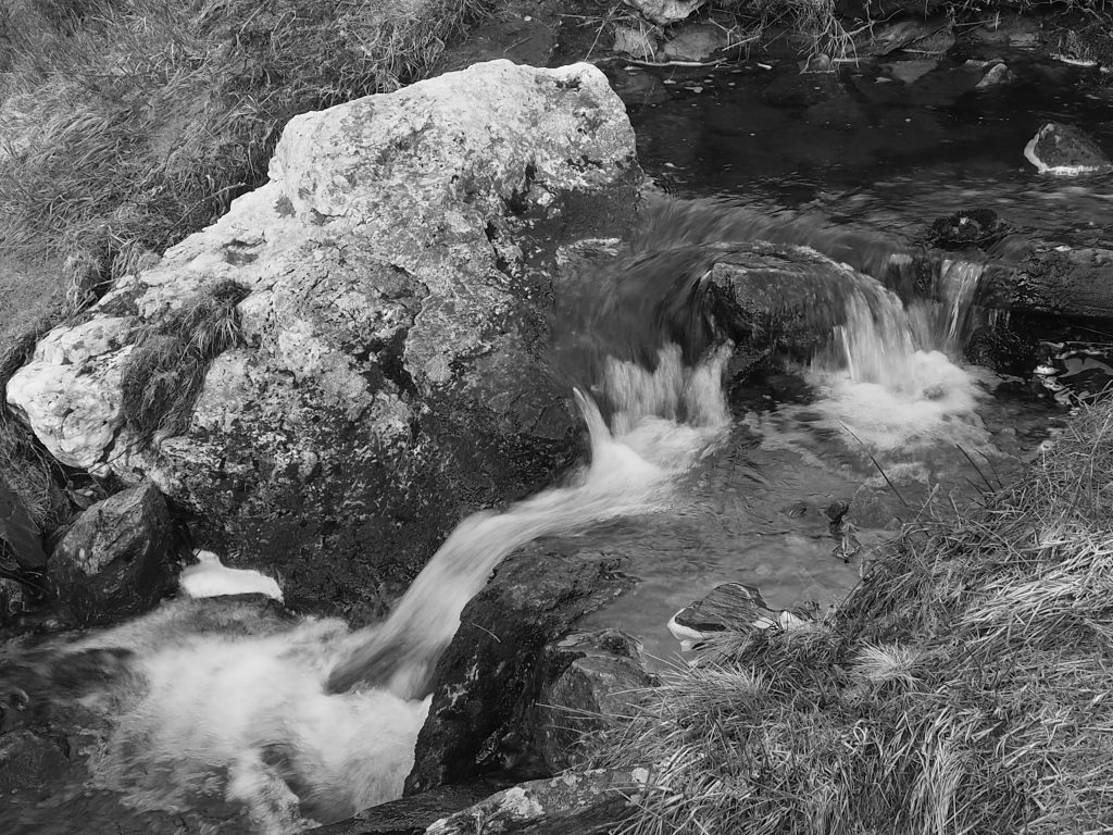
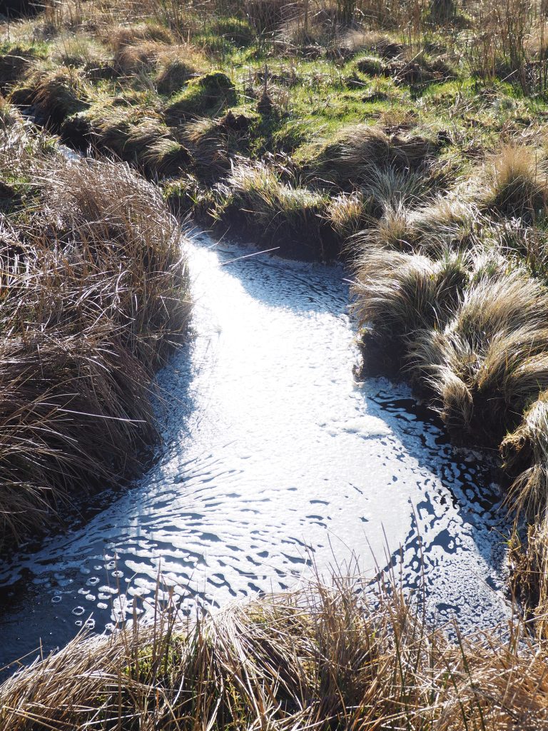
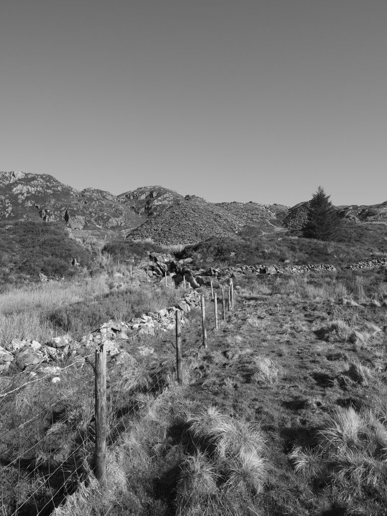
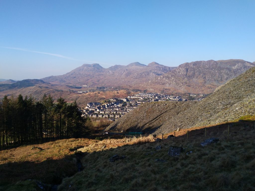
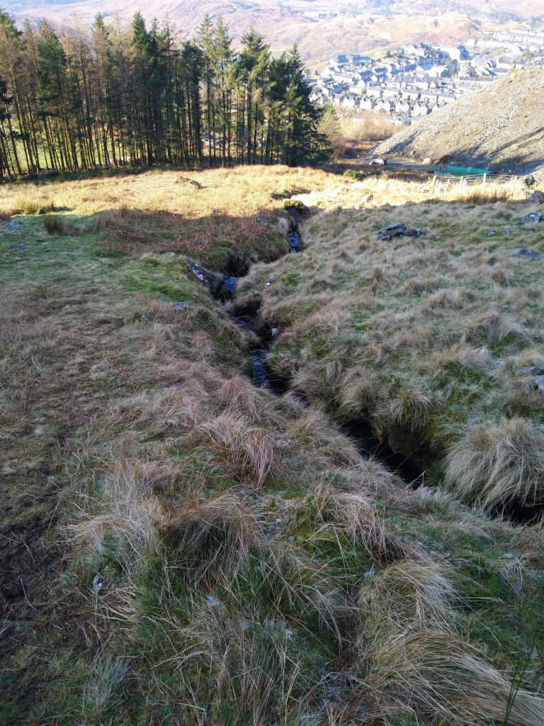
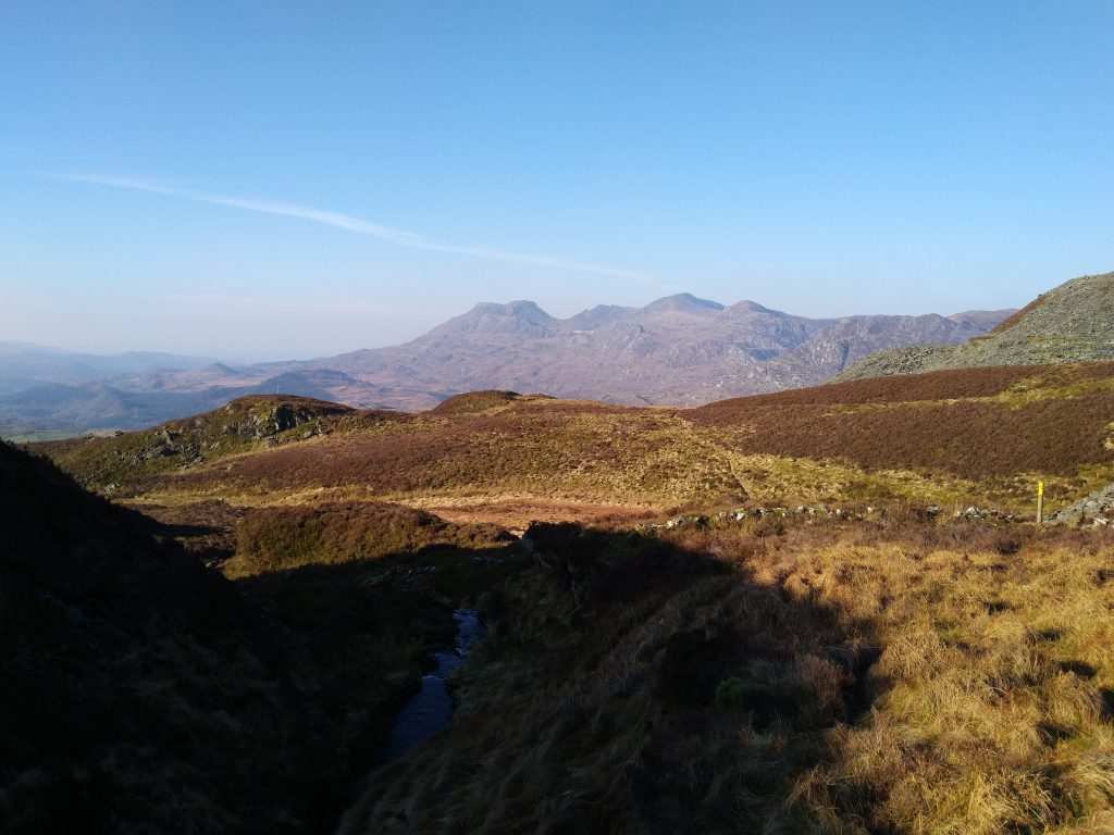
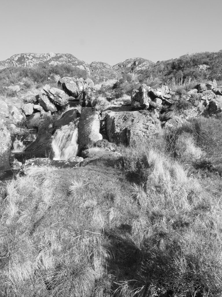
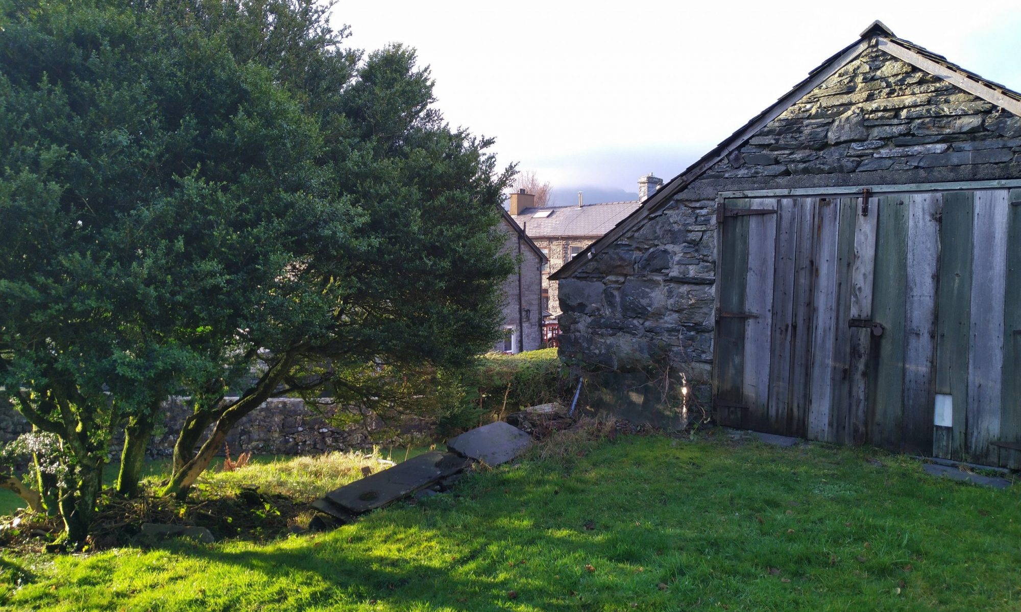
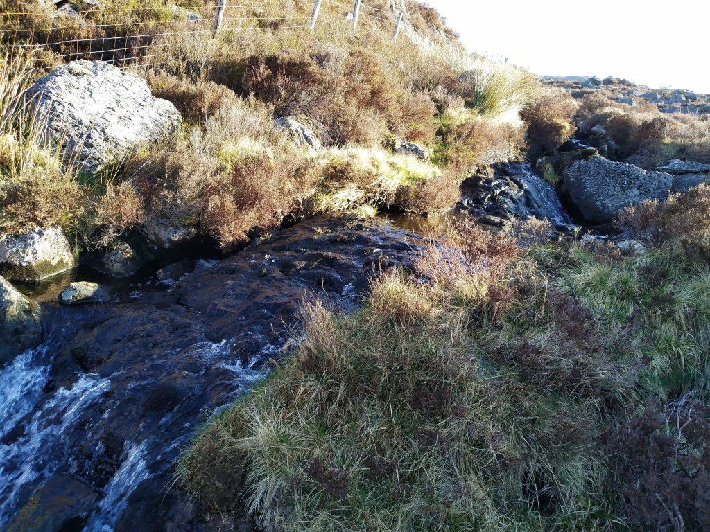
So lets start by saying I did not get to Llyn Du Back but that was the intension of this planned walk (but more on that later!). This leg has a good altitude climb. Easily walkable but worth mentioning. Following the path adjacent to the house you traverse the stile and then walk up the wide path until you get to a kissing gate on the left hand side. From there it is a simple bearing walk following the fence line with a few additional kissing gates swapping sides of the fence for some reason. It is hard going under foot as there is no fixed path and you traverse the steam a number of times but it is well worth it for the views you get.
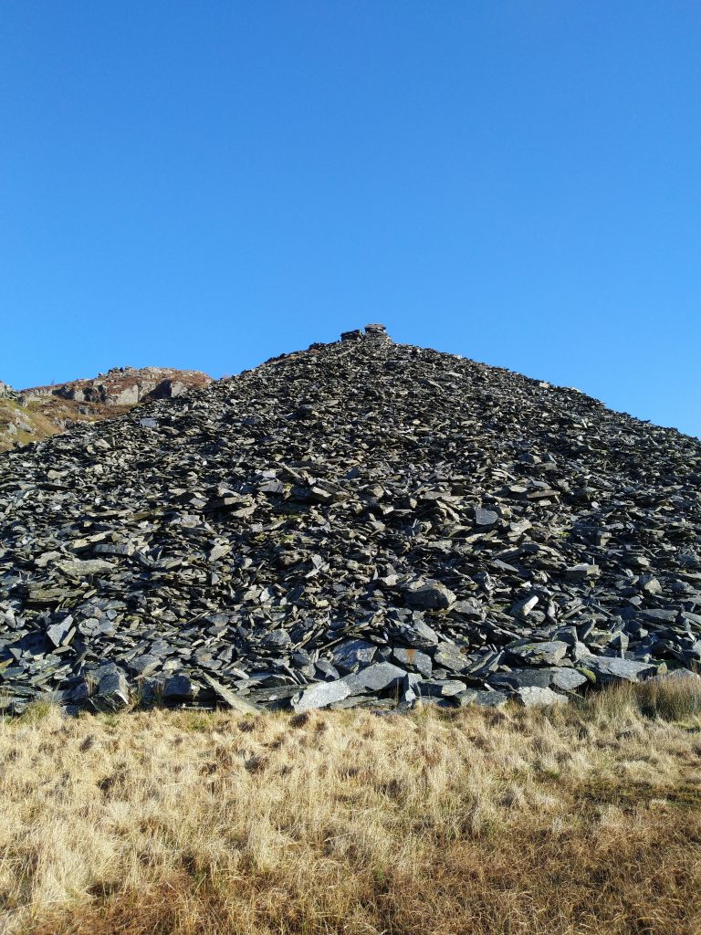
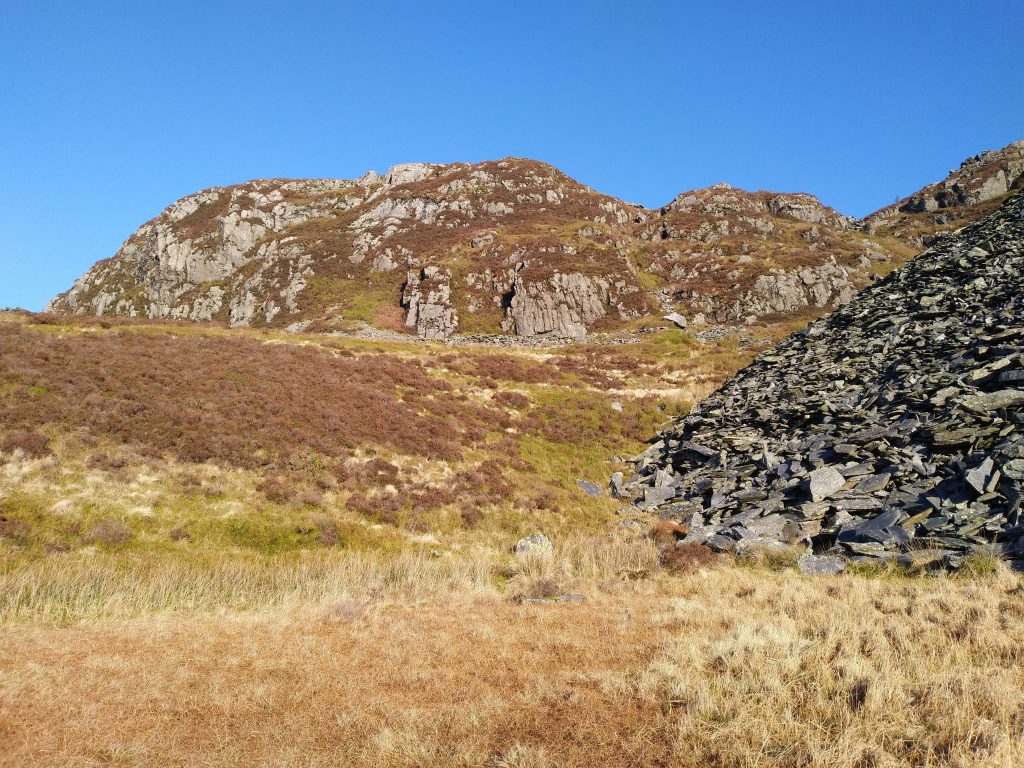
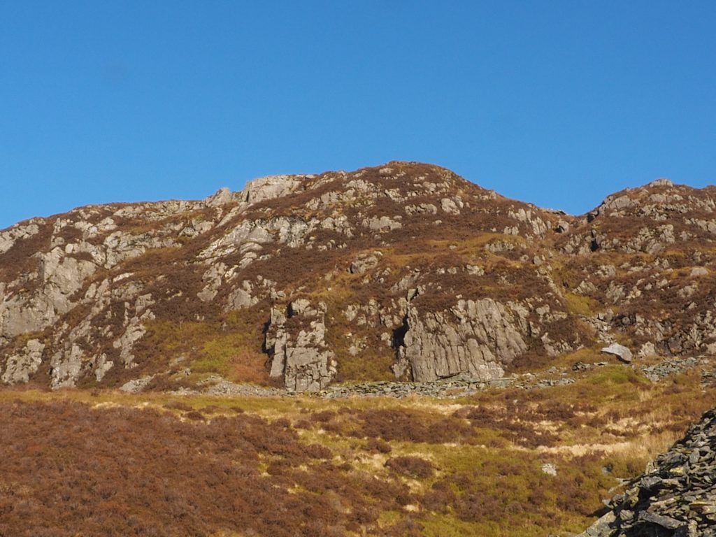
As you approach the bearing change to move towards Llyn Du Bach you find yourself near the base of a rock face outcrop. The natural line seems to be to follow the base and then turn up but this is where I think I made my error and next time I will try taking the left hand route and see if that keeps me on track better. Having visited Llyn Du Bach on a previous walk I can at least tell you what is there and what you find is a beautifully clear lake which is used for trout fishing.
Leg 2 – Llyn Du Bach to Llyn Glas
Walking to the end of the lake, you then take a right and start a shallow descent towards Llyn Glas. Once again the footpath is not well marked but with either a simple bearing or a visual marker you quickly pick up a natural route down to these two small lakes.
Leg 3 – Llyn Glas to Llyn y Manod
Follow the small lakes to the end and you quickly see a well marked path bearing up and off to the left. This has a gradual uphill incline but worth it as you take the right turn at the top and drop down towards Llyn Y Manod.
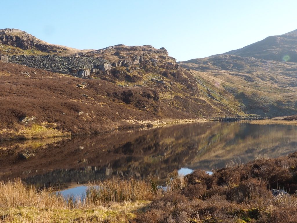
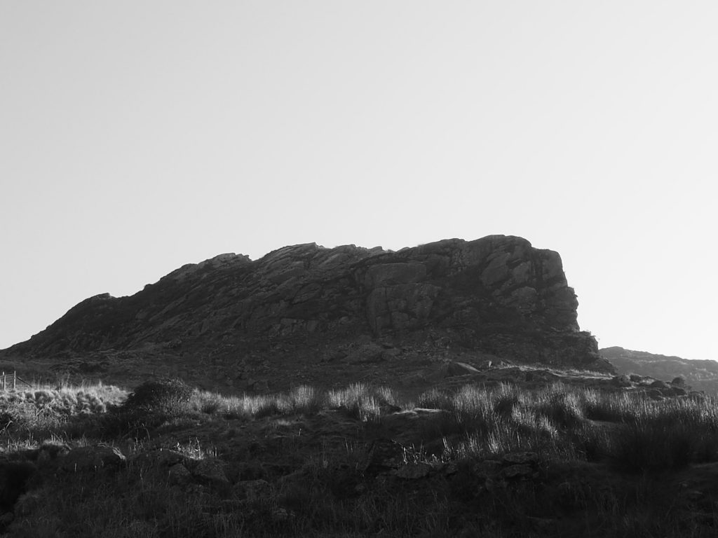
This lake is just beautiful! With Manod Bach rising up against the right hand bank, the marked footbath takes you around the left hand bank although there is a kissing gate that appears to loop you around the right hand bank as well.
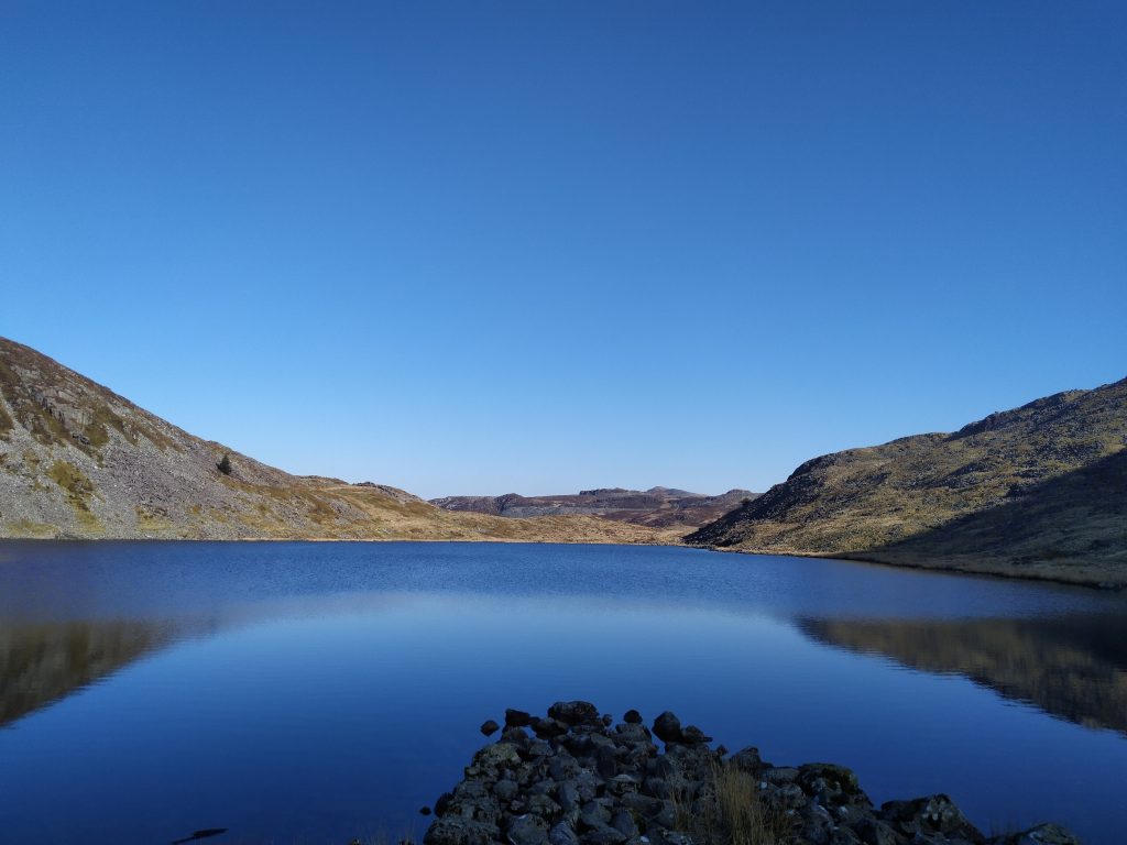
Looking back up the lake 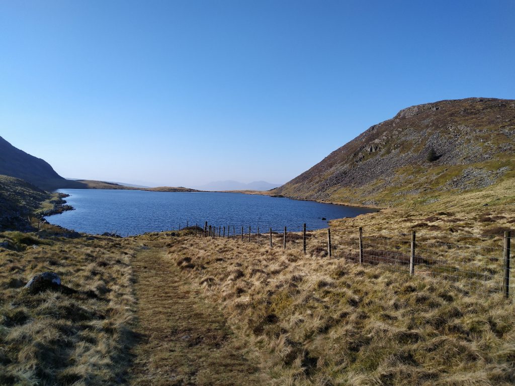
Manod Bach rises up to the right
Leg 4 – Llyn y Manod to A470
That is the hard work done as the walk down towards the A470 is well marked with good footpaths and some great views along the way. At the time of walking this was active farm land with sheep scattered around and signs asking for all dogs to be kept on leads.
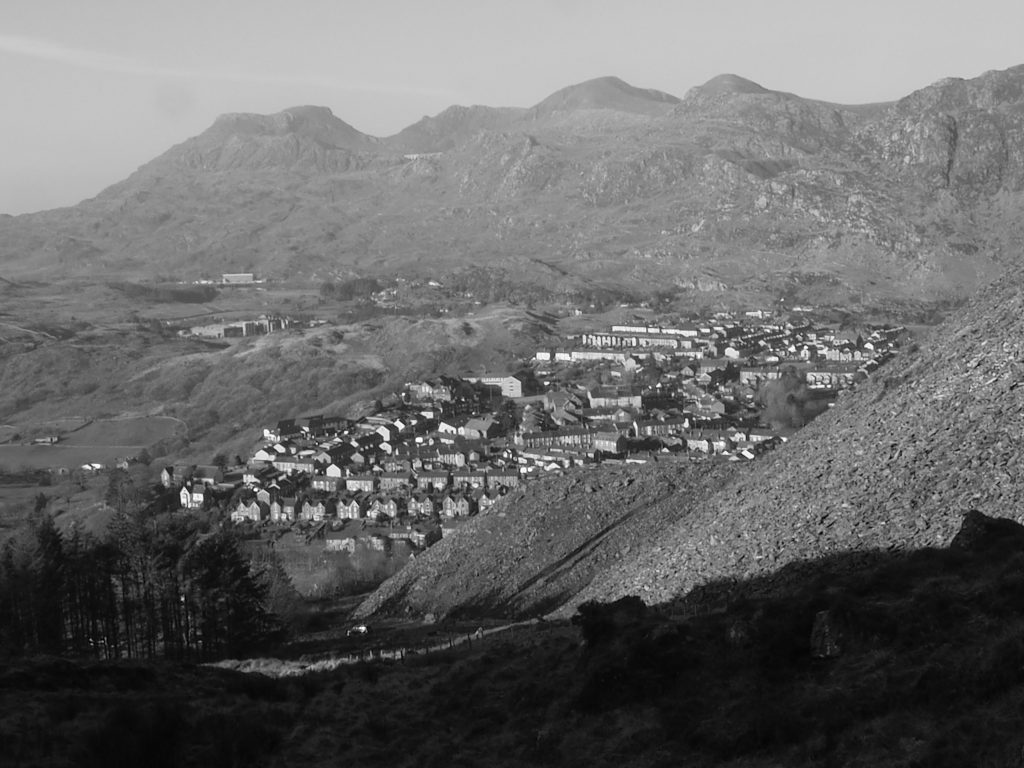
You come out near the main road that runs through Blaenau Ffestiniog (the A470), just by a small local football pitch.
Leg 5 – A470 to Glan Gors
Once you are on the road, it is a simple right turn then literally a 5 minute walk along the road to return back to Glan Gors