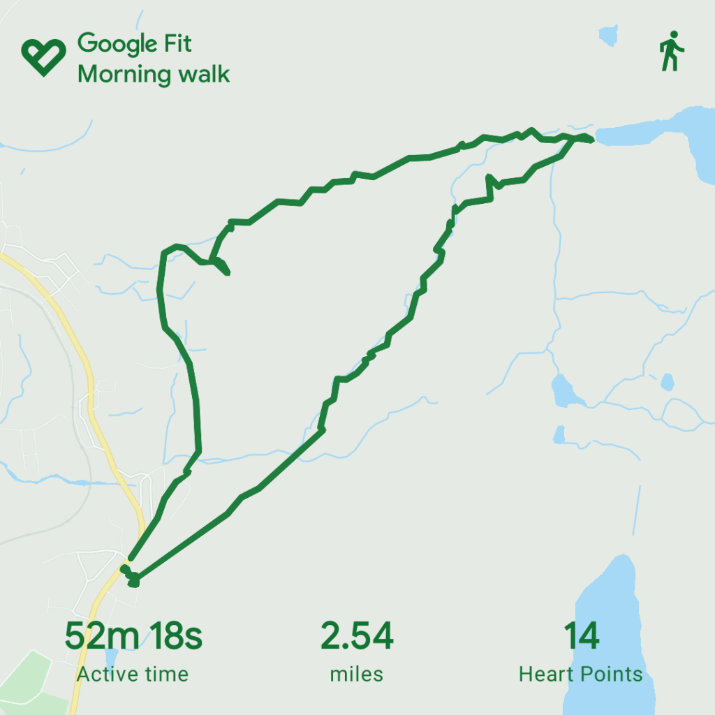
Logged distance: 2.54 mile
Walking Time: 52 mins
Out Time: 1hr 45 mins
Ascent: 757 ft
Since I rekindled my love for walking, I subscribed to the OS app and map subscription. One of the great things about this is the ability to create routes on your laptop and then open them up on your phone and is basically a walkers sat nav. For “born again” walkers like me, this has removed the dependence of maps and compass but more importantly for me, especially at the moment as a lone walker during this period of restricted lock down, it allows me to both check my route as I go but also before my walk I send a screen shot to my kids, let them know when I have started then if I am not back by a pre-arranged time they can start to worry…..
It is perfect when exploring new routes you have never walked before as it gives you the confidence to ensure that you are near to the designated footpaths where sometimes they are not well trodden.
For this walk I plotted a simple 2 mile circuit out to Llyn Du Bach which is a local lake. The plotted distance was 1.9 miles and was estimated at 1hr 1 min walk time with the 2nd quarter of the walk having quite a significant steep elevation. On this occasion I was taking the clockwise route.
Glan Gors to grid ref SH 70781 45814:
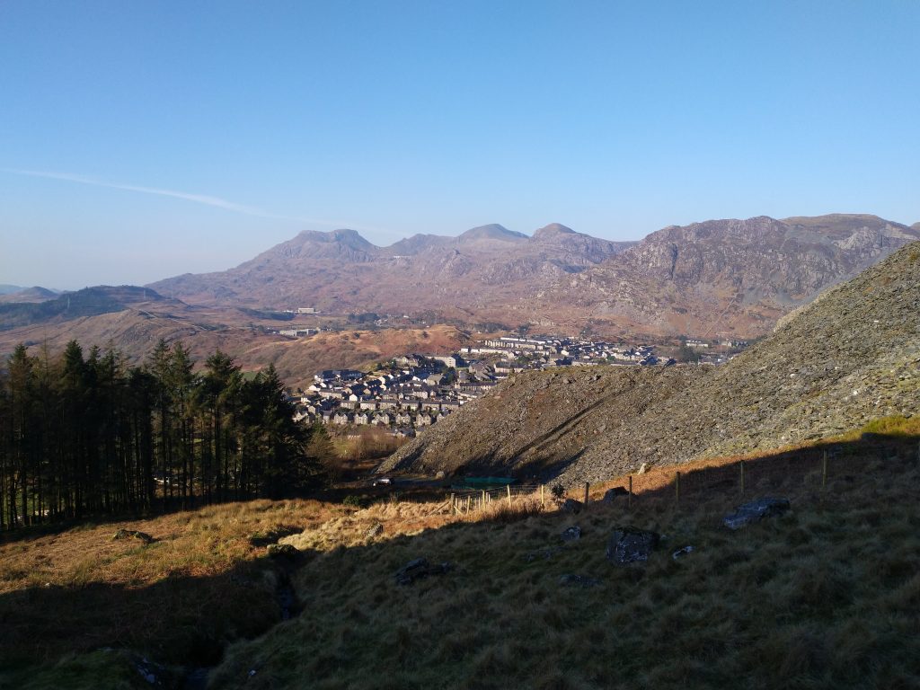
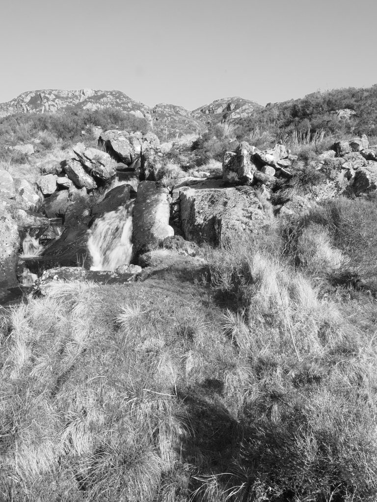
A short walk from the house leads to a fork in the road where Manod Road splits from High Street and after walking past a few properties the number of houses reduces and the lane starts to give you a rural feel. Its not long until you pass the first nice view where the main waterfall can be found.
Once you have passed this part it is an easy walk along the track until you come to the end of the lane. To the right you will find an access gate that leads you onto the mountain.
SH 70781 45814 to SH 71679 46044 Llyn Du Bach
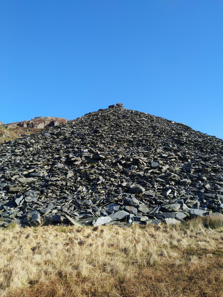
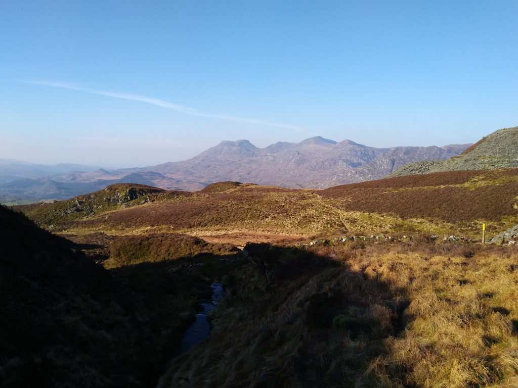
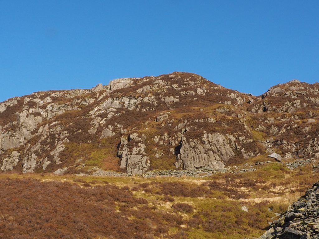
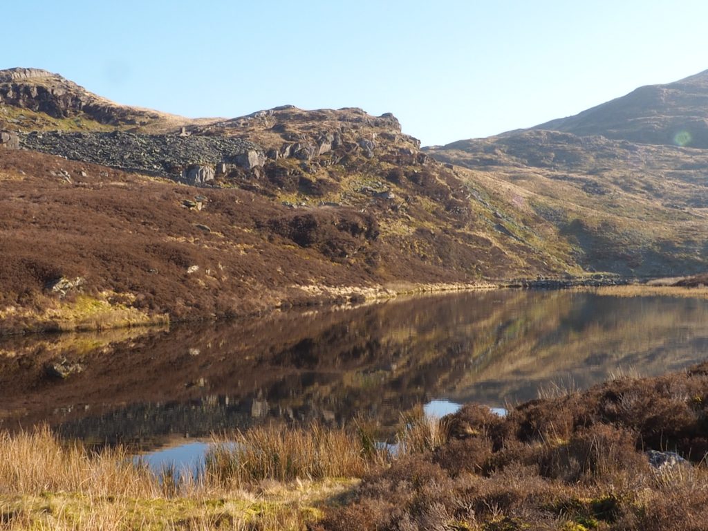
So the first world of warning, although its a lovely walk, this section is steep. The overall elevation is just over 750 ft and most of this is covered in this leg which accounts for 1/4 of the walking distance. Its a fairly well marked out track and is basically in two sections. The first section was straight forward but the second section needed a couple of checks on the GPS as there were two options you could take. Did I say it was a long uphill? Luckily the end result was the arrival at Llyn Du Bach which is a small lake known for Fly (Trout) fishing.
SH 71679 46044 to SH 71107 45432
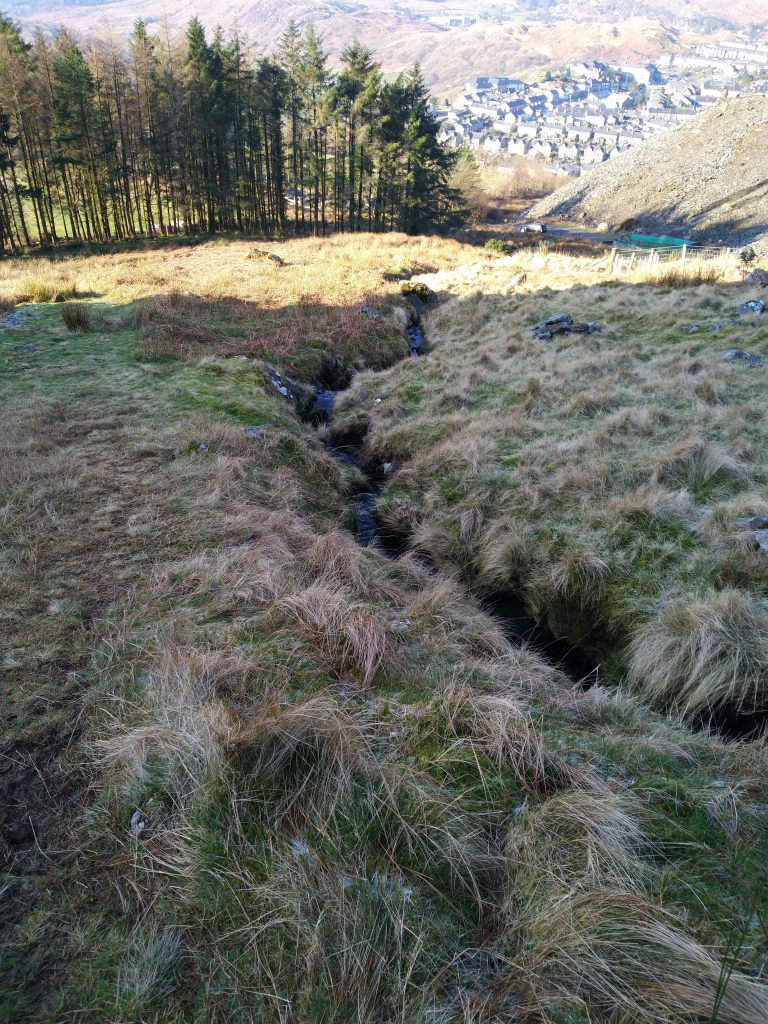
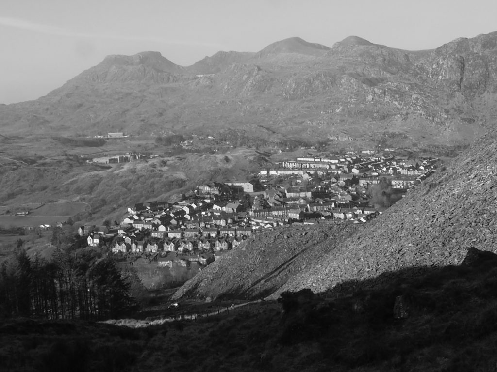
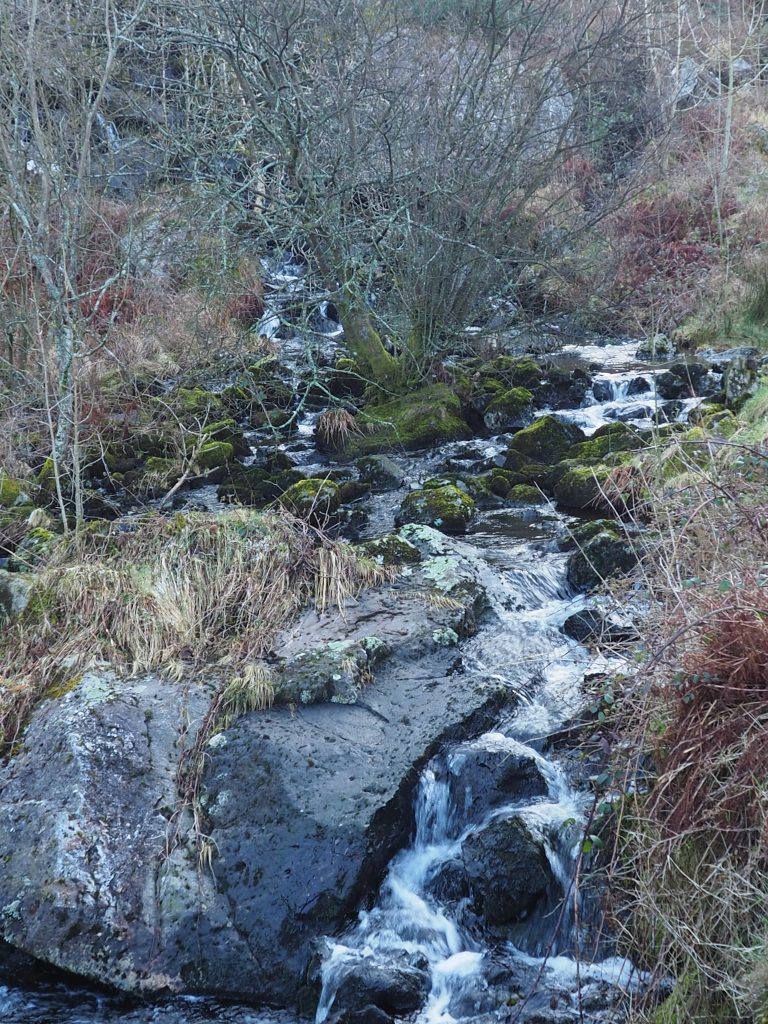
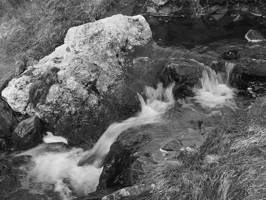
From the lake, you start the downward descent which regularly intersects with the stream and small waterfalls. The first thing to note is that the first section down to SH 71378 45798 did not have a clear footpath and it would have been easy to get the wrong side of the fencing. Luckily there were a couple of crossing points further down. The second half was much more defined and easier under foot.
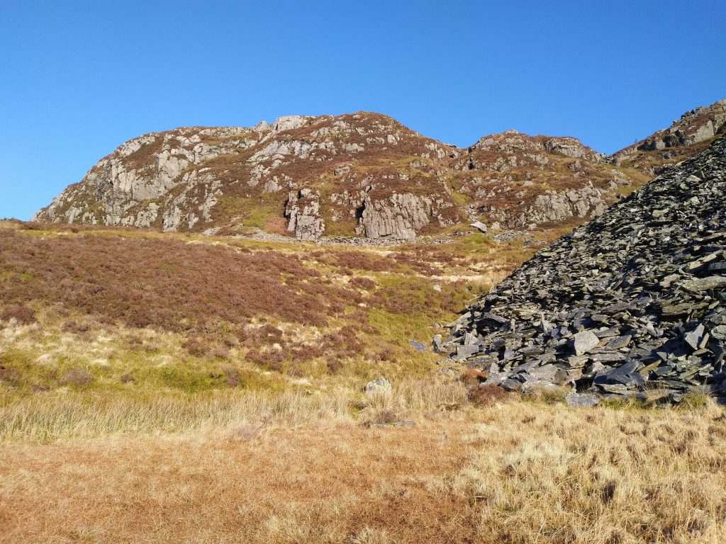
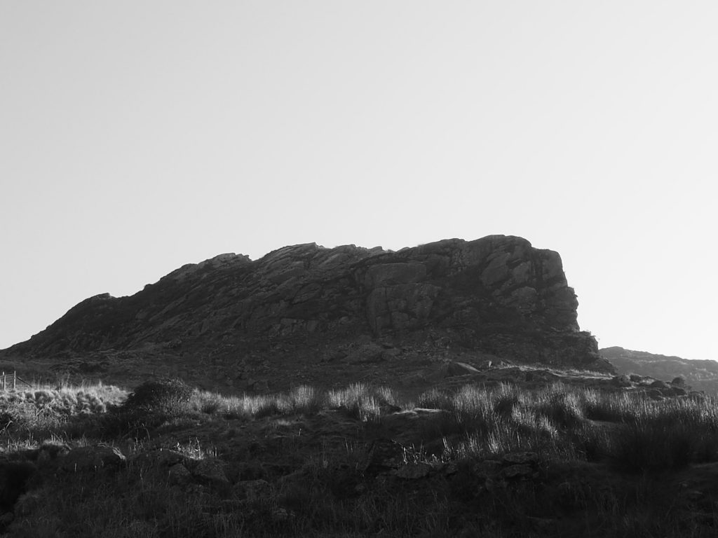
Nature at its best 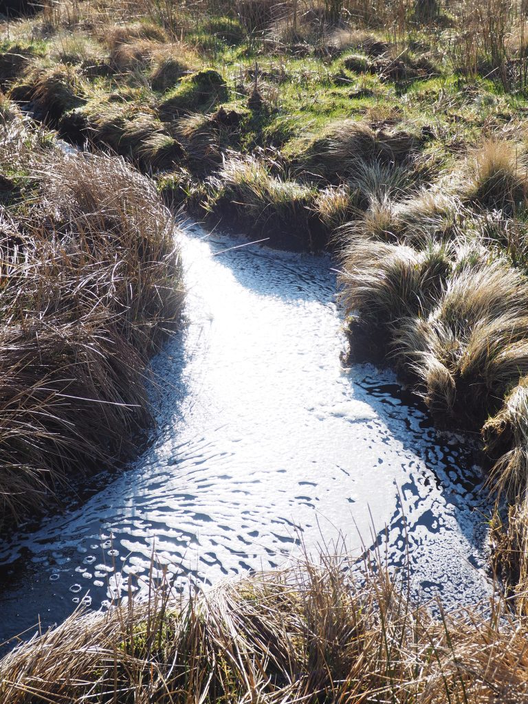
The water was so clear further up. Frothed up at this turn 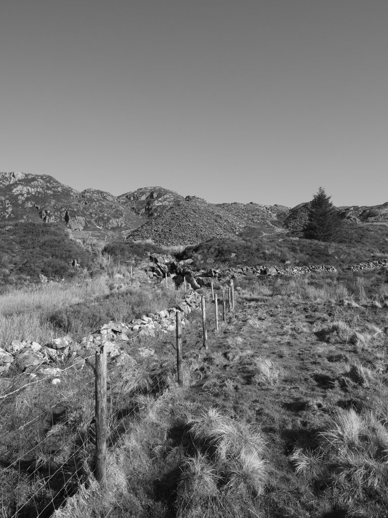
Just need to make sure you are on the right side
SH 71107 45432 to Glan Gors
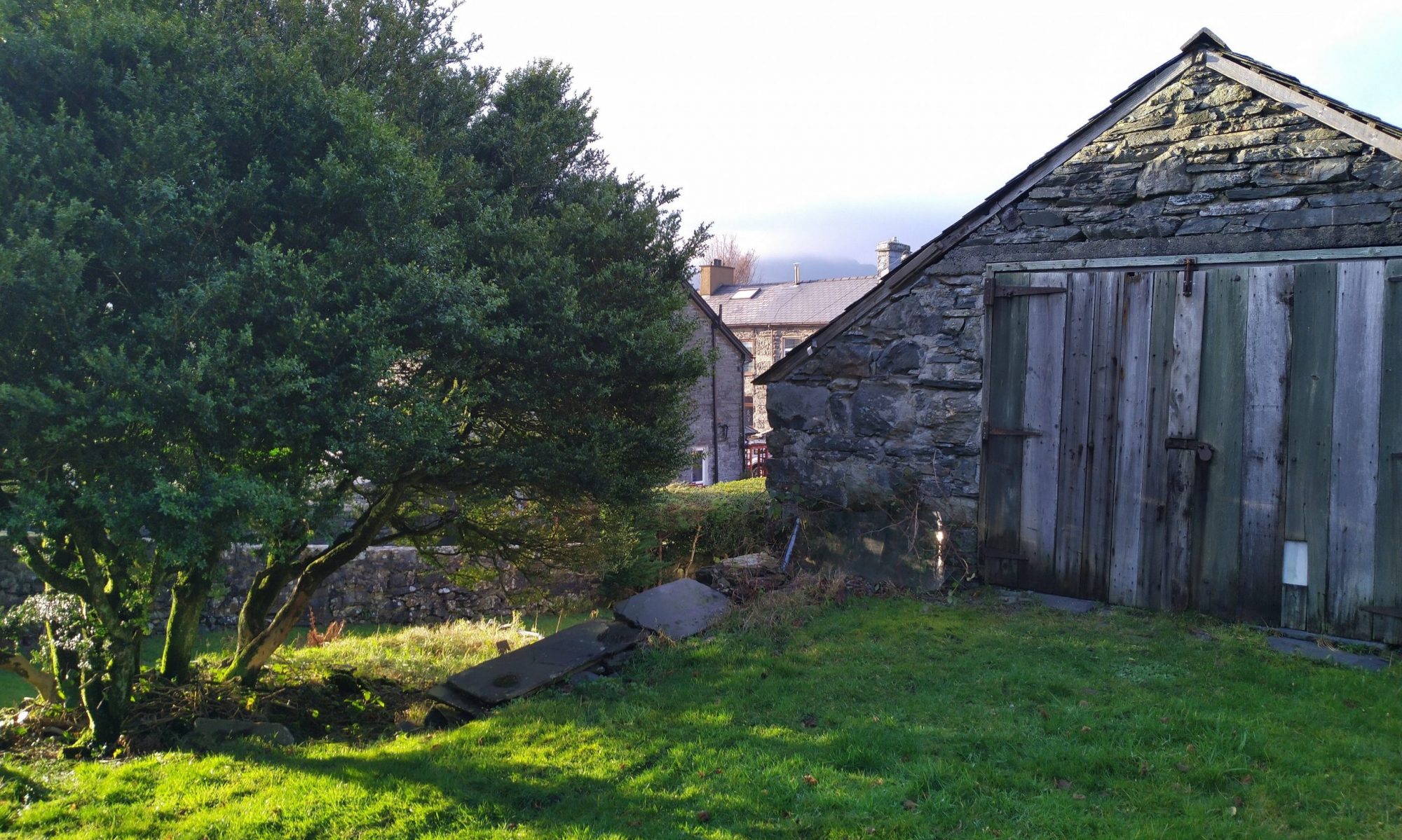
The final drop down to Glan Gors is a wide rural road track which is well walked and sure underfoot. Once you get to the bottom you get clear visibility of the house and just pop over a stye to pick up the lane that runs alongside the back garden.
As you can see from my stats, my actual tracked distance was 25% over the OS plotting and almost an hour over the walk time. I put the timing down to the ascent phase but also me enjoying the scenery and taking loads of pictures as you see from below!